module TOPOGRAPHY More...
Functions/Subroutines | |
| subroutine, public | topography_setup |
| Setup. More... | |
| subroutine, public | topography_fillhalo (Zsfc, FILL_BND) |
| HALO Communication. More... | |
| subroutine, public | topography_write |
| Write topography. More... | |
| subroutine, public | topography_calc_tan_slope (IA, IS, IE, JA, JS, JE, RCDX, RCDY, MAPF) |
Variables | |
| logical, public | topography_exist = .false. |
| topography exists? More... | |
| real(rp), dimension(:,:), allocatable, public | topography_zsfc |
| absolute ground height [m] More... | |
| real(rp), dimension(:,:), allocatable, public | topography_tansl_x |
| tan(slope_x) More... | |
| real(rp), dimension(:,:), allocatable, public | topography_tansl_y |
| tan(slope_y) More... | |
Detailed Description
module TOPOGRAPHY
- Description
- Topography module
- NAMELIST
-
PARAM_TOPOGRAPHY
name type default value comment TOPOGRAPHY_IN_BASENAME character(len=H_LONG) '' basename of the input file TOPOGRAPHY_IN_VARNAME character(len=H_LONG) 'topo' variable name of topo in the input file TOPOGRAPHY_IN_AGGREGATE logical > switch to use aggregated file TOPOGRAPHY_IN_CHECK_COORDINATES logical .false. > switch for check of coordinates TOPOGRAPHY_OUT_BASENAME character(len=H_LONG) '' basename of the output file TOPOGRAPHY_OUT_AGGREGATE logical > switch to use aggregated file TOPOGRAPHY_OUT_DTYPE character(len=H_SHORT) 'DEFAULT' REAL4 or REAL8
-
PARAM_TOPOGRAPHY
- History Output
- No history output
Function/Subroutine Documentation
◆ topography_setup()
| subroutine, public scale_topography::topography_setup |
Setup.
Definition at line 66 of file scale_topography.F90.
References scale_file::file_aggregate, scale_atmos_grid_cartesc_index::ia, scale_io::io_fid_conf, scale_atmos_grid_cartesc_index::ja, scale_prc::prc_abort(), topography_tansl_x, topography_tansl_y, and topography_zsfc.
Referenced by mod_rm_driver::rm_driver(), and mod_rm_prep::rm_prep().


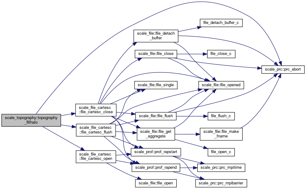
◆ topography_fillhalo()
| subroutine, public scale_topography::topography_fillhalo | ( | real(rp), dimension(ia,ja), intent(inout), optional | Zsfc, |
| logical, intent(in), optional | FILL_BND | ||
| ) |
HALO Communication.
Definition at line 117 of file scale_topography.F90.
References scale_file_cartesc::file_cartesc_close(), scale_file_cartesc::file_cartesc_flush(), scale_file_cartesc::file_cartesc_open(), scale_prc::prc_abort(), topography_exist, and topography_zsfc.
Referenced by mod_cnvtopo::cnvtopo(), topography_calc_tan_slope(), and topography_write().
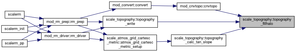
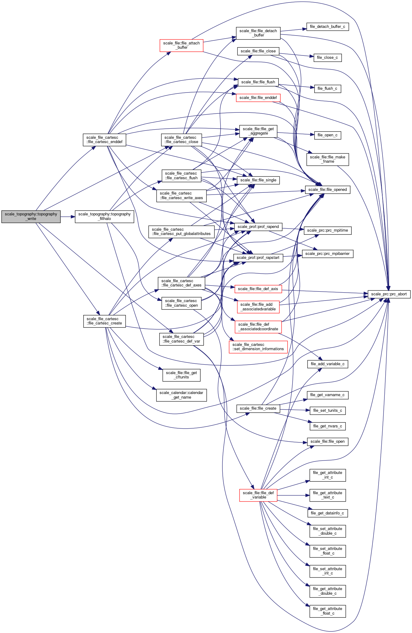
◆ topography_write()
| subroutine, public scale_topography::topography_write |
Write topography.
Definition at line 190 of file scale_topography.F90.
References scale_file_cartesc::file_cartesc_close(), scale_file_cartesc::file_cartesc_create(), scale_file_cartesc::file_cartesc_def_var(), scale_file_cartesc::file_cartesc_enddef(), topography_fillhalo(), and topography_zsfc.
Referenced by mod_rm_driver::rm_driver(), and mod_rm_prep::rm_prep().

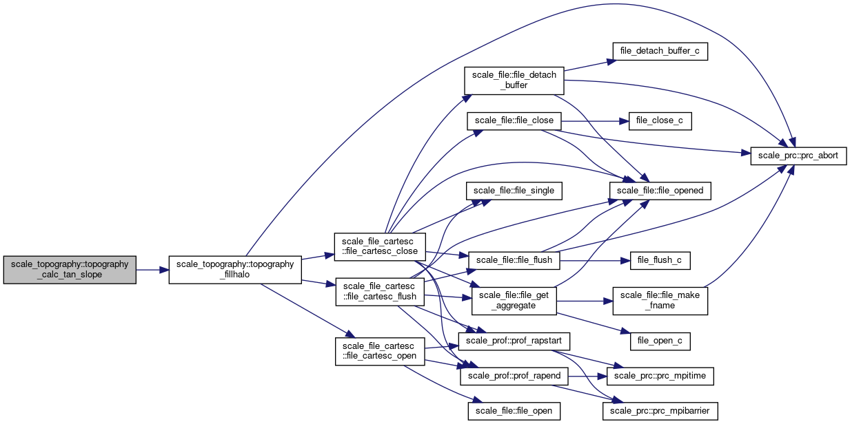
◆ topography_calc_tan_slope()
| subroutine, public scale_topography::topography_calc_tan_slope | ( | integer, intent(in) | IA, |
| integer, intent(in) | IS, | ||
| integer, intent(in) | IE, | ||
| integer, intent(in) | JA, | ||
| integer, intent(in) | JS, | ||
| integer, intent(in) | JE, | ||
| real(rp), dimension(ia), intent(in) | RCDX, | ||
| real(rp), dimension(ja), intent(in) | RCDY, | ||
| real(rp), dimension(ia,ja,2), intent(in) | MAPF | ||
| ) |
Definition at line 231 of file scale_topography.F90.
References scale_atmos_grid_cartesc_index::ie, scale_atmos_grid_cartesc_index::is, scale_atmos_grid_cartesc_index::je, scale_atmos_grid_cartesc_index::js, scale_prc_cartesc::prc_twod, topography_fillhalo(), topography_tansl_x, topography_tansl_y, and topography_zsfc.
Referenced by scale_atmos_grid_cartesc_metric::atmos_grid_cartesc_metric_setup().
Variable Documentation
◆ topography_exist
| logical, public scale_topography::topography_exist = .false. |
topography exists?
Definition at line 36 of file scale_topography.F90.
Referenced by scale_atmos_grid_cartesc_real::atmos_grid_cartesc_real_setup(), and topography_fillhalo().
◆ topography_zsfc
| real(rp), dimension (:,:), allocatable, public scale_topography::topography_zsfc |
absolute ground height [m]
Definition at line 38 of file scale_topography.F90.
Referenced by scale_atmos_grid_cartesc_metric::atmos_grid_cartesc_metric_rotcoef(), scale_atmos_grid_cartesc_real::atmos_grid_cartesc_real_calc_areavol(), scale_atmos_grid_cartesc_real::atmos_grid_cartesc_real_calc_z(), mod_cnvtopo::cnvtopo(), scale_file_history_cartesc::file_history_cartesc_truncate_3d(), mod_realinput::land_interporation(), mod_mktopo::mktopo(), mod_realinput::ocean_interporation(), mod_realinput::realinput_surface(), topography_calc_tan_slope(), topography_fillhalo(), topography_setup(), and topography_write().
◆ topography_tansl_x
| real(rp), dimension(:,:), allocatable, public scale_topography::topography_tansl_x |
tan(slope_x)
Definition at line 39 of file scale_topography.F90.
Referenced by mod_atmos_phy_sf_driver::atmos_phy_sf_driver_calc_tendency(), mod_land_driver::land_driver_calc_tendency(), topography_calc_tan_slope(), topography_setup(), and mod_urban_driver::urban_driver_calc_tendency().
◆ topography_tansl_y
| real(rp), dimension(:,:), allocatable, public scale_topography::topography_tansl_y |
tan(slope_y)
Definition at line 40 of file scale_topography.F90.
Referenced by mod_atmos_phy_sf_driver::atmos_phy_sf_driver_calc_tendency(), mod_land_driver::land_driver_calc_tendency(), topography_calc_tan_slope(), topography_setup(), and mod_urban_driver::urban_driver_calc_tendency().